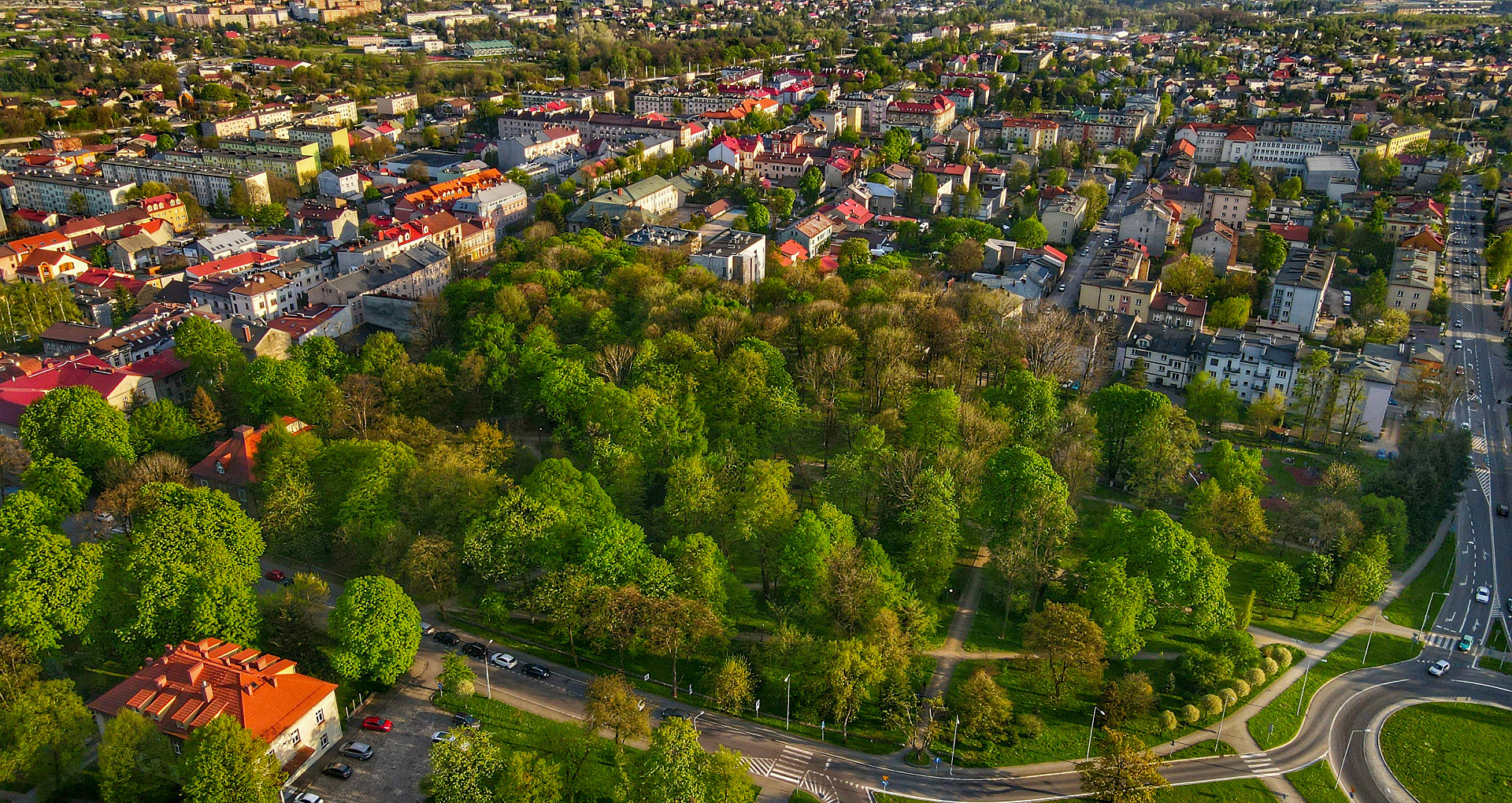
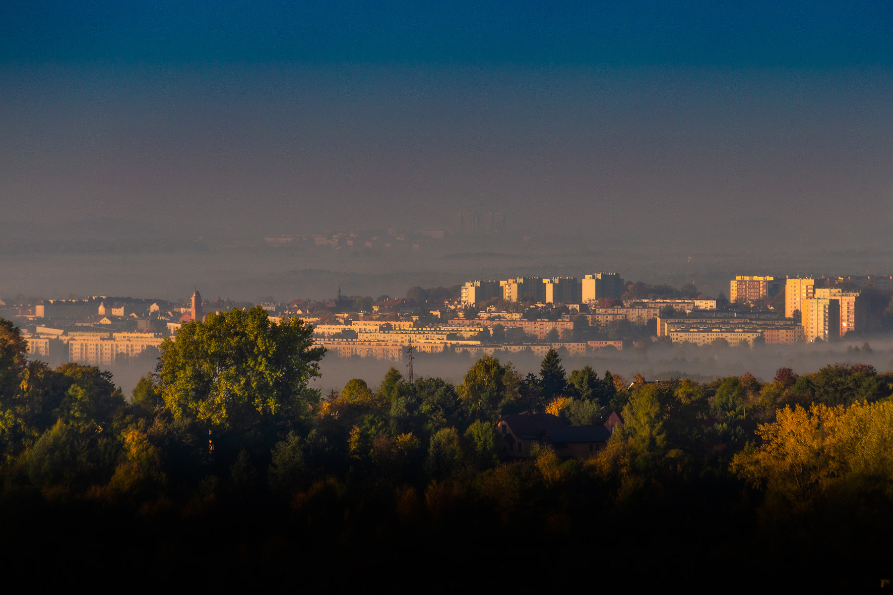
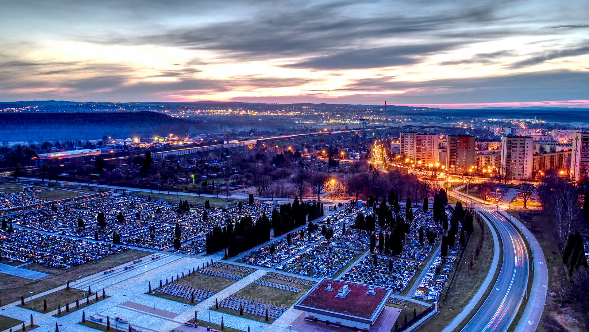
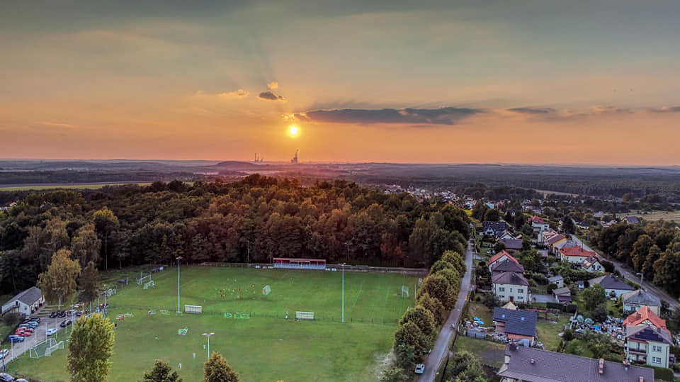
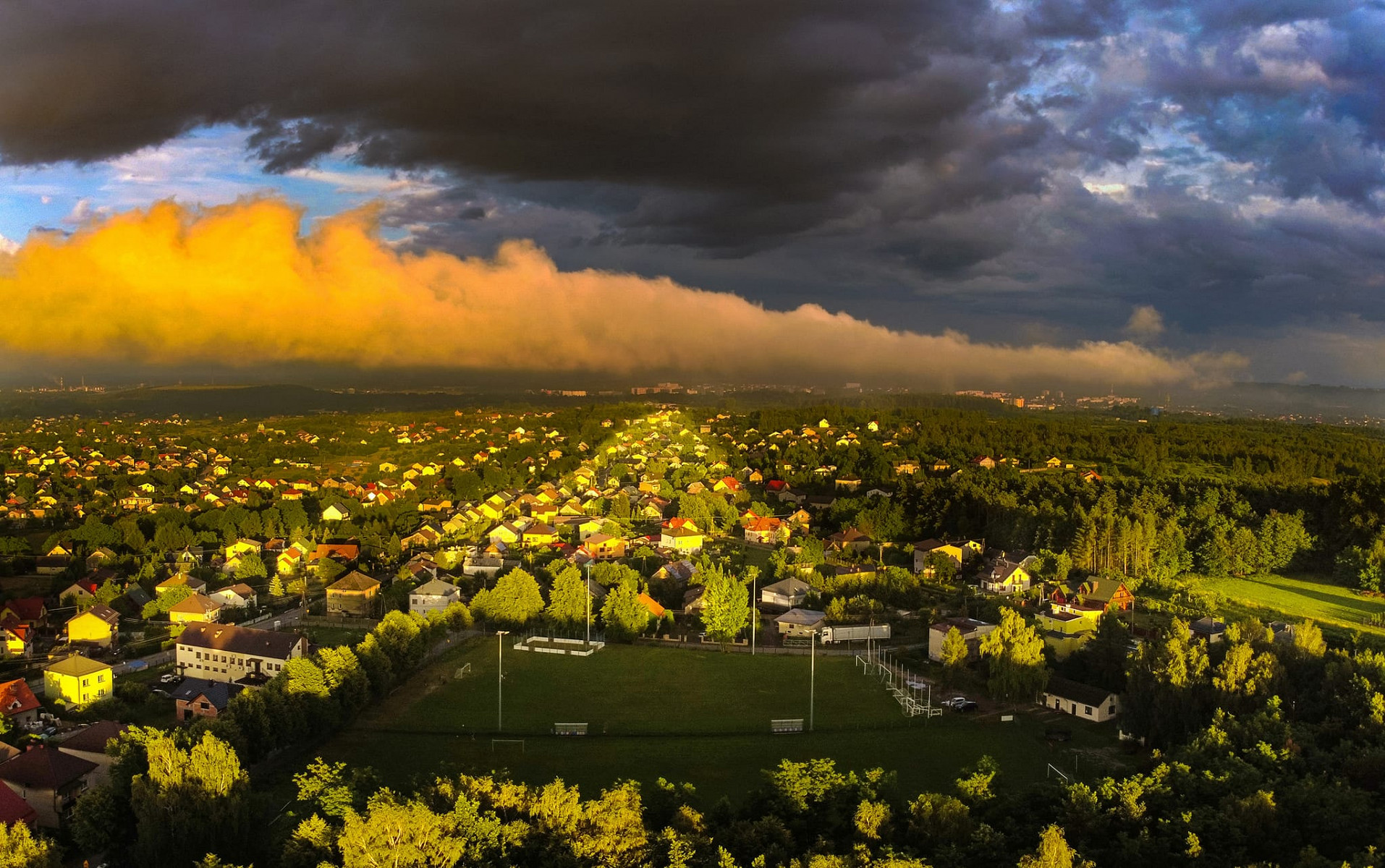
Chrzanów is a municipality situated in the western part of the Małopolska Voivodeship, on the border of the Silesian Upland and the Kraków-Częstochowa Upland, halfway between Katowice and Kraków. The A-4 motorway runs through the northern part of the town. Access to the town from the motorway is provided by the "Chrzanów I" junction (known as the Trzebinia junction) and the "Chrzanów II" junction (known as the Balin junction). The municipality's area is 79.3 km² and includes the town of Chrzanów and 6 villages (sołectwos): Płaza, Pogorzyce, Źrebce, Balin, Okradziejówka, and Luszowice.
.jpg)
.jpg)
.jpg)
.jpg)
.jpg)
.jpg)
.jpg)
.jpg)
.jpg)
.jpg)
.jpg)
.jpg)
.jpg)
.jpg)


.jpeg)
.jpeg)
.jpeg)
.jpeg)
.jpeg)
.jpeg)
.jpeg)
.jpeg)
.jpeg)
.jpeg)
.jpeg)
.jpeg)
.jpeg)


.jpg)


Chrzanów.
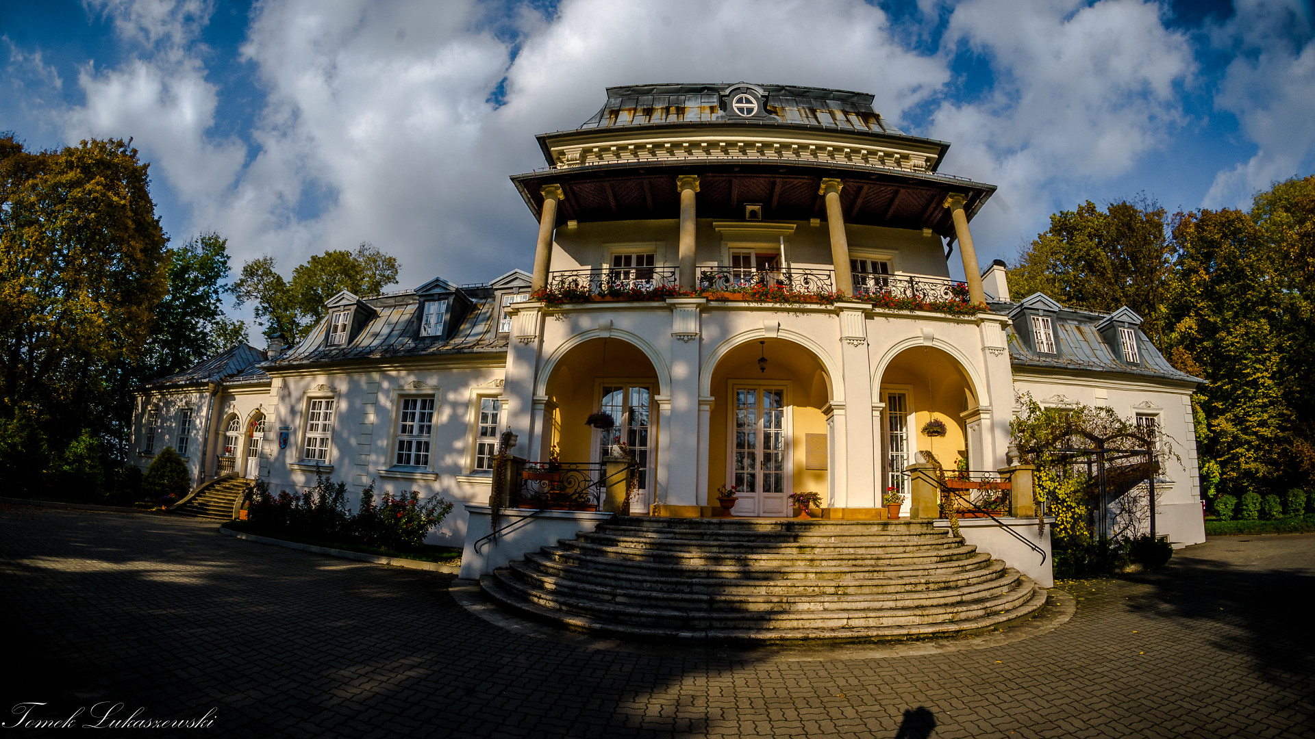
A town with a centuries-old history, founded under Magdeburg Law in the Middle Ages. The original spatial layout of the old town (around the Market Square) has been preserved to this day, along with the characteristic Church of St. Nicholas the Bishop and Confessor. St. Nicholas is also the patron saint of the town. From the 14th century, Chrzanów remained in the private hands of various owners. First, the noble and esteemed Ligęza family of the Półkozic coat of arms, then the Dembiński family of the Rawicz coat of arms, and successively the Grudziński, Stadnicki, and Ossoliński families. In the early 19th century, the owner was Albert Casimir, Duke of Saxe-Teschen, later Archduke Karl Ludwig Habsburg, and after him, the Mieroszewski family. Finally, after various transactions, the Chrzanów estate became the exclusive property of the Loewenfeld family from Wrocław. They were a merchant family who held the town in their care until the outbreak of World War II.
At the beginning of its existence, Chrzanów was a centre with a customs house. In the following centuries, it transformed into a town of crafts and trade. It is worth noting that in the years 1815-1846, it was an important part of the Republic of Kraków. At the turn of the 19th and 20th centuries, it became an industrial town, where, among others, the First Locomotive Factory in Poland "Fablok" was based. For centuries, it was also a multicultural place, combining Christian and Jewish traditions. The history of Jews in Chrzanów begins in the 16th century with Jakub, who ran a pawnshop in 1590 on the former Kościelecka Street (today 29 Listopada Street). The Jewish religious community was founded in 1745 and ran its own rabbinical court; 14 years later, it received permission to establish a cemetery (kirkut), and in 1786, the first synagogue was built. The Jewish history in Chrzanów was brutally interrupted by the events of World War II on February 18, 1943, when the Chrzanów ghetto was liquidated.
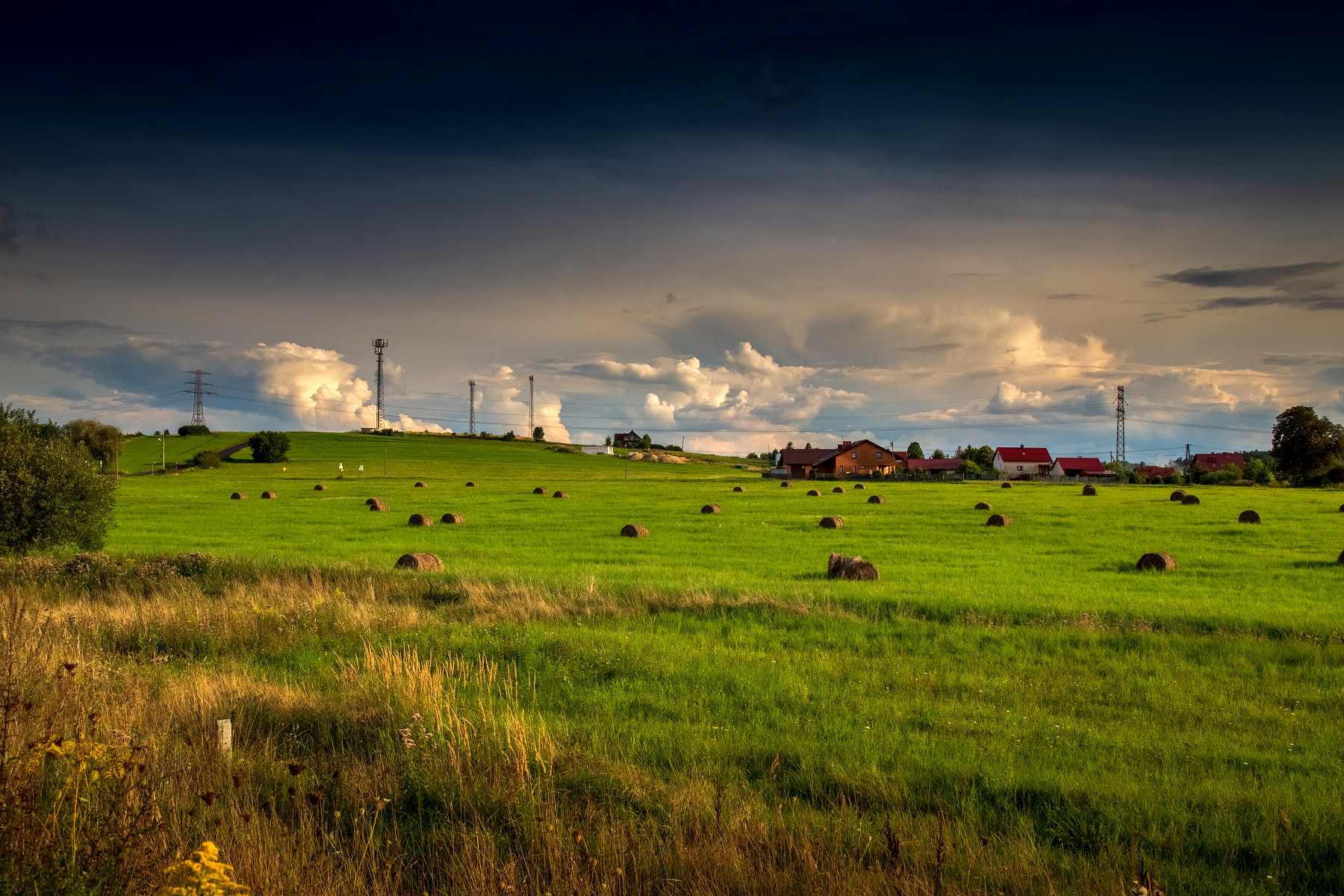
The Villages.
Pogorzyce.
Pogorzyce is one of the six villages (sołectwos) that make up Chrzanów. The village's area is 615 ha. Pogorzyce is located in the southern part of the Chrzanów municipality. Pogorzyce is situated within the Płaza Block, in an area covered by the Complex of Jura Landscape Parks. It is a very picturesque area. Pogorzyce offers interesting views of Lipowiec, the Vistula Valley, the Beskidy panorama, and in good weather, you can see the Tatra Mountains. The village has the character of a ribbon development in a rural-suburban style, expanding along the road from Chrzanów to Płaza (Szymanowskiego Street).
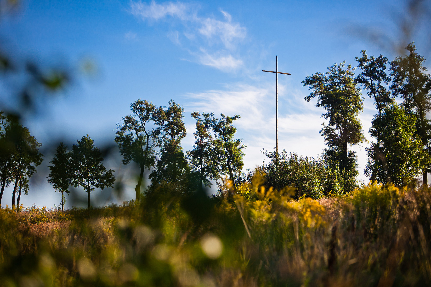
Płaza.
Płaza is a picturesque locality in the Chrzanów poviat (county) in the Małopolska Voivodeship, located on numerous hills offering beautiful views: to the north-east, the Dulowska Forest and Tenczyn Castle; to the south, the Vistula Valley, the Beskidy and Tatra Mountains, and Lipowiec Castle; and to the west, the limestone quarry in Wapiennik. The village is situated south-east of Chrzanów, within the Tenczyn Landscape Park, on the hills of the Tenczyn Garb (Ridge), known here as the Płaza Block. It borders the villages of Pogorzyce, Bolęcin, Regulice, and Wygiełzów. The highest point within the Płaza Block is Płaska Góra, located a few hundred meters south-east of the centre of Płaza Górna (Upper Płaza). The lower part of the locality is picturesquely situated in the Płazianka Valley. Its steep loess slopes, rising in terraces, are covered with forests, cultivated fields, and homesteads, which can be reached by narrow, winding, and very steep roads.
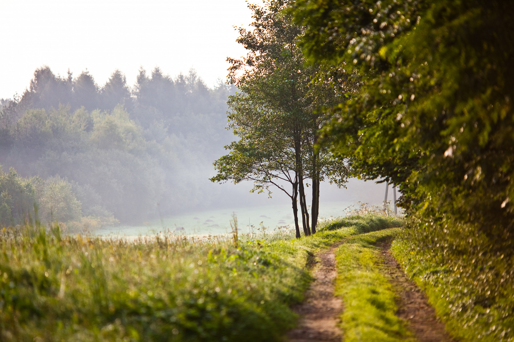
Luszowice.
Luszowice is one of the six villages (sołectwos) in the Chrzanów municipality. Its area is 7.92 km². It is located on the Silesian Upland, in the part called the Jaworznickie Pagóry (Hills), within the Ciężkowice Garb (Ridge), with a varied hilly terrain up to 340 m above sea level, cut by the Luszówka Valley, which is a tributary of the Chechło River. Located in the northern part of the municipality. The village is characterized by a forked layout. The buildings, dating from the post-war years (1945-1970), have a rural-suburban character.
Balin.
The village of Balin occupies the north-western area of the Chrzanów municipality. It is located within the so-called Jaworznickie Pagóry (Hills), dissected by the Luszówka River valley and the Baliński stream. The most important hills in the village include Pańska Góra, Rosowa Góra, Wianek, and Łazy. Balin's location is linked to the presence of ore-bearing dolomites in the area. The name of the village probably comes from the old German word "balling," meaning an opencast calamine mine (which was mined here as early as the 14th century), or from the village's founder – Baliński.
Okradziejówka.
A village located within the Balin Trough, in a depression between Wikoszyńska Góra, Pańska Góra, and Chrzanowska Góra. Surrounded by meadows - remnants of a former large complex of wet meadows typical of the Wilkoszyn Basin - with numerous species of protected meadow plants. In landscape terms, it is a depression filled with post-glacial formations with peat bogs. It is a 19th-century hamlet of Balin with a linear ("łan") village layout. The contemporary buildings have a suburban character, with structures from 1945-70.
Źrebce.
A village located within the Płaza Block, with buildings on a flat depression between forested hills. It is a 19th-century roadside village, a hamlet of Pogorzyce, established near a lime plant. Currently, suburban-style buildings predominate.
The Municipality in Numbers
The Statistical Vademecum for Local Government (Statystyczne Vademecum Samorządowca) contains comprehensive statistical information about the region. The system allows for a quick and efficient diagnosis of the social, economic, and environmental situation. https://svs.stat.gov.pl/ (New window) (Link to another site)
In the new SVS - for a given territorial unit, you can select a thematic area, visualize the indicated data on charts, and generate ready-made "portraits" (profiles) of municipalities (gminas), cities with poviat rights, poviats, or voivodeships.
The new functionality of the SVS tool includes:
- time-saving, thanks to simple and intuitive operation
- ready-made material for diagnosis and analysis, with no need for database training
- the ability to decide which data is presented and visualized, so you can choose the information you need
- the most important data about a territorial unit: municipality, city with poviat rights, poviat, voivodeship
- an attractive way of visualizing data in "portraits," which provides you with ready-made material for presentations and public speaking
- long time series (5 or 10 years), which allow for comparing changes in selected areas
- rankings that provide comparisons between units.